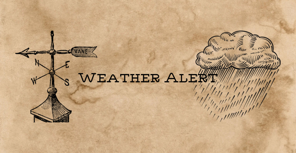
Severe Thunderstorm Warning Issued for North Central Torrance County; Damaging Winds and Large Hail Expected
The National Weather Service in Albuquerque has issued a Severe Thunderstorm Warning for north central Torrance County, in effect until 8:45 p.m. MDT this evening (Friday, June 12, 2026).
At 8:24 p.m. MDT, a severe thunderstorm was located near Moriarty, moving slowly southeast at 5 mph. The storm is capable of producing damaging winds and large hail, posing an immediate threat to property and safety across the region.
Hazards:
Wind gusts of 60 mph are possible, capable of producing significant wind damage. Quarter-size hail (approximately 1 inch in diameter) is expected, with hail damage to vehicles highly likely. Wind damage to roofs, siding, and trees is also expected.
The warning affects Moriarty, McIntosh, and areas along Interstate 40 between Mile Markers 193 and 204. Residents in these areas should seek shelter immediately inside a well-built structure and stay away from windows.
Additional Context:
This severe storm is part of a broader line of strong thunderstorms moving through the region. Earlier radar indicated a line of thunderstorms extending from the southeast of Rowe near Chilili, moving southeast at 20 mph. Communities throughout northwestern Torrance County, including Estancia, should remain alert for additional severe weather activity this evening.
Motorists can expect brief but sudden changes in visibility and ponding of water on roadways as the storm moves through. Avoid traveling during the warning period if possible, particularly on I-40 and Highway 285.
For the latest forecast updates, visit the Albuquerque office of the National Weather Service. Torrance County residents can receive timely alerts by signing up for TextMyGov notifications:
- Text TORRANCE COUNTY to 80946 for general and emergency alerts
- Text TORRANCE FIRE ALERTS to 80946 for information on prescribed burns or active fires in the area
- Text TORRANCE NWS to 80946 for weather-related alerts