
Strong Thunderstorm Tracking Into Mountainair Area with Wind and Flash Flood Risk
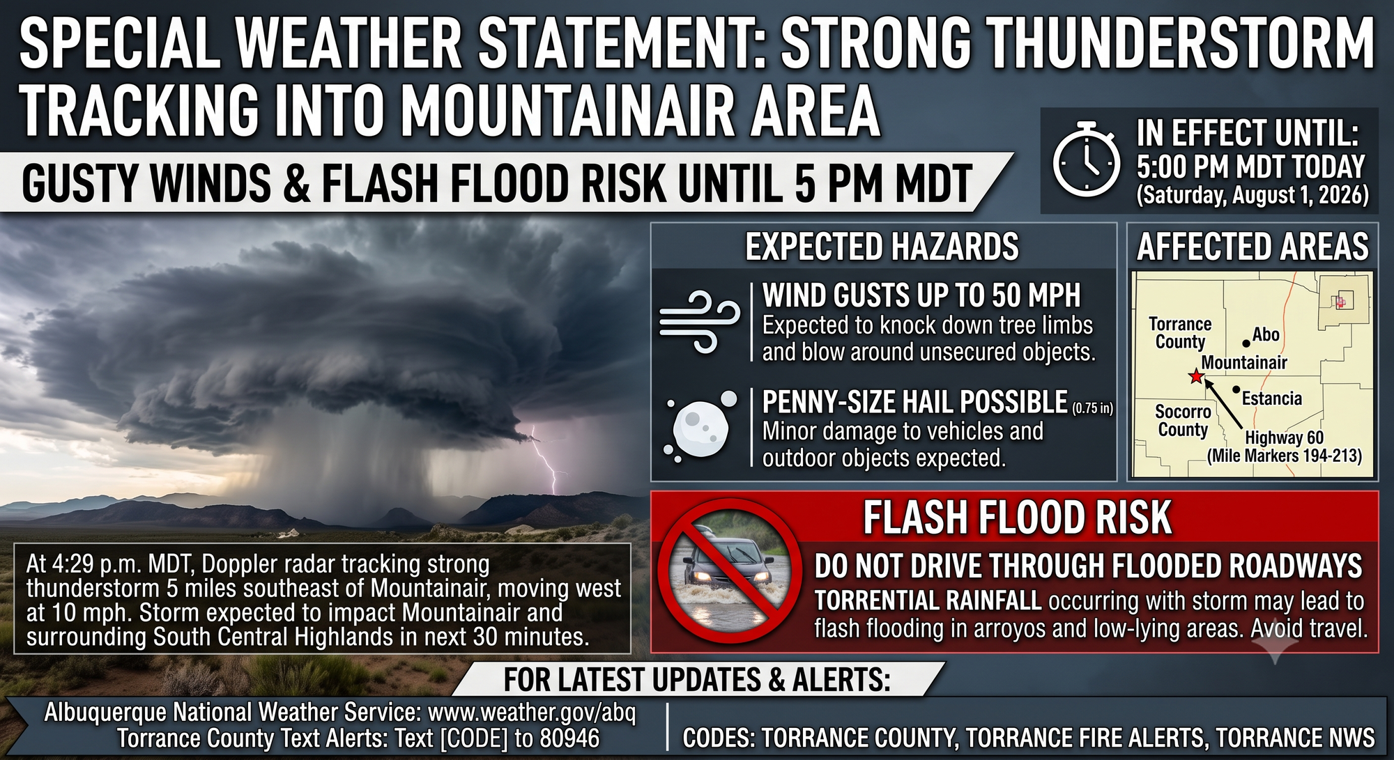
While not a surprise given the current downpour, the National Weather Service in Albuquerque has issued a Special Weather Statement for a strong thunderstorm affecting southwestern Torrance County and northeastern Socorro County, in effect until 5 p.m. MDT this evening (Saturday, August 1, 2026).
At 4:29 p.m. MDT, Doppler radar was tracking a strong thunderstorm 5 miles southeast of Mountainair (approximately 24 miles southwest of Estancia), moving west at 10 mph. The storm is expected to impact Mountainair and the surrounding South Central Highlands within the next 30 minutes.
Expected Hazards:
Wind gusts up to 50 mph could knock down tree limbs and blow around unsecured objects. Penny-size hail (approximately 0.75 inches in diameter) is possible, with minor damage to vehicles and outdoor objects expected.
Torrential rainfall is occurring with this storm and may lead to flash flooding. The combination of heavy rain and the mountainous terrain around Mountainair and Abo creates conditions favorable for rapid runoff in arroyos and low-lying areas.
Flash Flood Risk:
Do not drive your vehicle through flooded roadways. Arroyos and normally dry washes can quickly become dangerous torrents. Water depth and current strength are often deceiving and can sweep vehicles away. Residents should avoid travel in the affected areas until the storm passes, particularly in areas prone to flooding.
The warning includes Highway 60 between Mile Markers 194 and 213.
For the latest forecast updates, visit the Albuquerque office of the National Weather Service. Torrance County residents can receive timely alerts by signing up for TextMyGov notifications:
- Text TORRANCE COUNTY to 80946 for general and emergency alerts
- Text TORRANCE FIRE ALERTS to 80946 for information on prescribed burns or active fires in the area
- Text TORRANCE NWS to 80946 for weather-related alerts