
Severe Thunderstorm Watch Covers Torrance County Until 9 PM as Storms Remain Possible
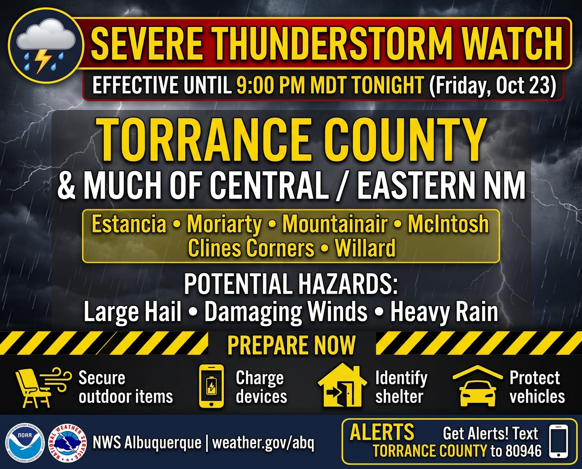
The National Weather Service in Albuquerque has issued a Severe Thunderstorm Watch, which covers Torrance County and 16 other New Mexico counties, in effect until 9 PM MDT this evening (Friday, October 23, 2026).
A watch means conditions are favorable for severe thunderstorms to develop, though none may form in every area. The watch covers a broad region of central, east central, north central, northeast, and southeast New Mexico, including Estancia, Moriarty, Mountainair, McIntosh, and Clines Corners in Torrance County, along with Albuquerque, Santa Fe, Los Alamos, Socorro, and Roswell.
What This Means for Torrance County:
Residents should remain alert and monitor the weather closely through the evening. Severe thunderstorms in this setting can produce large hail, damaging winds, and heavy rain. A watch is the time to prepare, not to wait. If a Severe Thunderstorm Warning is issued for your area, act immediately.
Preparation:
- Charge phones and portable batteries, and keep a battery-powered radio or weather alert device nearby
- Secure outdoor items such as trash cans, patio furniture, tarps, and garden equipment
- Identify a shelter location in a well-built structure, away from windows, in case a warning is issued
- Keep vehicles parked under cover where possible
For the latest forecast updates and any warnings that may be issued, visit the Albuquerque office of the National Weather Service. Torrance County residents can receive timely alerts by signing up for TextMyGov notifications:
- Text TORRANCE COUNTY to 80946 for general and emergency alerts
- Text TORRANCE FIRE ALERTS to 80946 for information on prescribed burns or active fires in the area
- Text TORRANCE NWS to 80946 for weather-related alerts