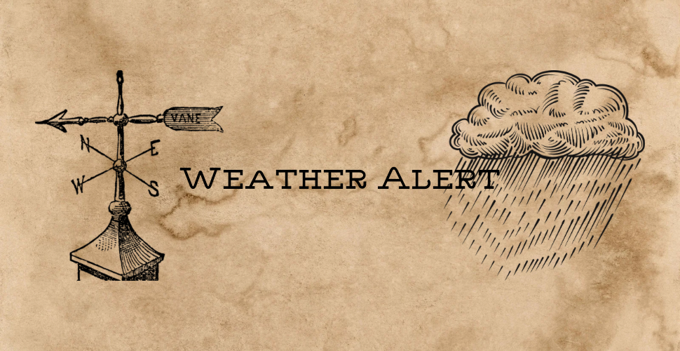
Heavy Snow Possible Overnight as Winter Storm Targets Central New Mexico
Heavy snow is expected to develop late tonight across parts of central and northern New Mexico, with potential impacts for Torrance County and the Mountainair area, according to private sector weather information sources. This alert is not an official government warning, and the National Weather Service has not issued a formal Winter Weather Warning for the area as of this writing.
Forecast guidance indicates that snow may begin around 11 p.m. Wednesday and continue through 11 a.m. MST Friday, with 3 to 6 inches of accumulation below 7,500 feet and 6 to 12 inches above 7,500 feet. Gusty winds up to 35 mph may accompany the snowfall, leading to blowing snow and reduced visibility.
For Torrance County, the greatest impacts are expected in higher elevations of the Manzano Mountains near Mountainair, as well as nearby areas influenced by upslope flow. Snow levels are expected to start between 7,000 and 8,000 feet Wednesday evening, then gradually lower overnight Thursday, potentially allowing snow to reach valley floors by late Thursday.
If these conditions materialize, travel could become very difficult, particularly during the Thursday morning and evening commutes. Tire traction may be reduced on snow-packed or icy roads, and motorists are advised to increase following distances and allow extra travel time. Portions of Interstate 40 and surrounding state highways could be affected by slick conditions and brief visibility drops.
Because this information is based on non-governmental forecast sources, residents should closely monitor official updates. Winter weather forecasts can change rapidly, and an official advisory or warning may be issued if confidence increases.
For the most reliable and up-to-date information, follow the Albuquerque office of the National Weather Service. Residents of Torrance County are also encouraged to sign up for emergency notifications. Torrance County has transitioned its emergency notification system from CodeRed to TextMyGov. Residents can now sign up for alerts by texting specific keywords to 80946, depending on the type of information they want to receive:
- Text
TORRANCE COUNTYto 80946
Receive general county notifications and emergency alerts. - Text
TORRANCE FIRE ALERTSto 80946
Receive information about prescribed burns and active fires. - Text
TORRANCE NWSto 80946
Receive National Weather Service-related weather alerts.
Signing up is free and helps ensure you receive timely information during emergencies or hazardous weather.