
Flood Advisory for Northern Torrance County Through 9 PM; Near-Stationary Thunderstorms Causing Arroyo Flooding
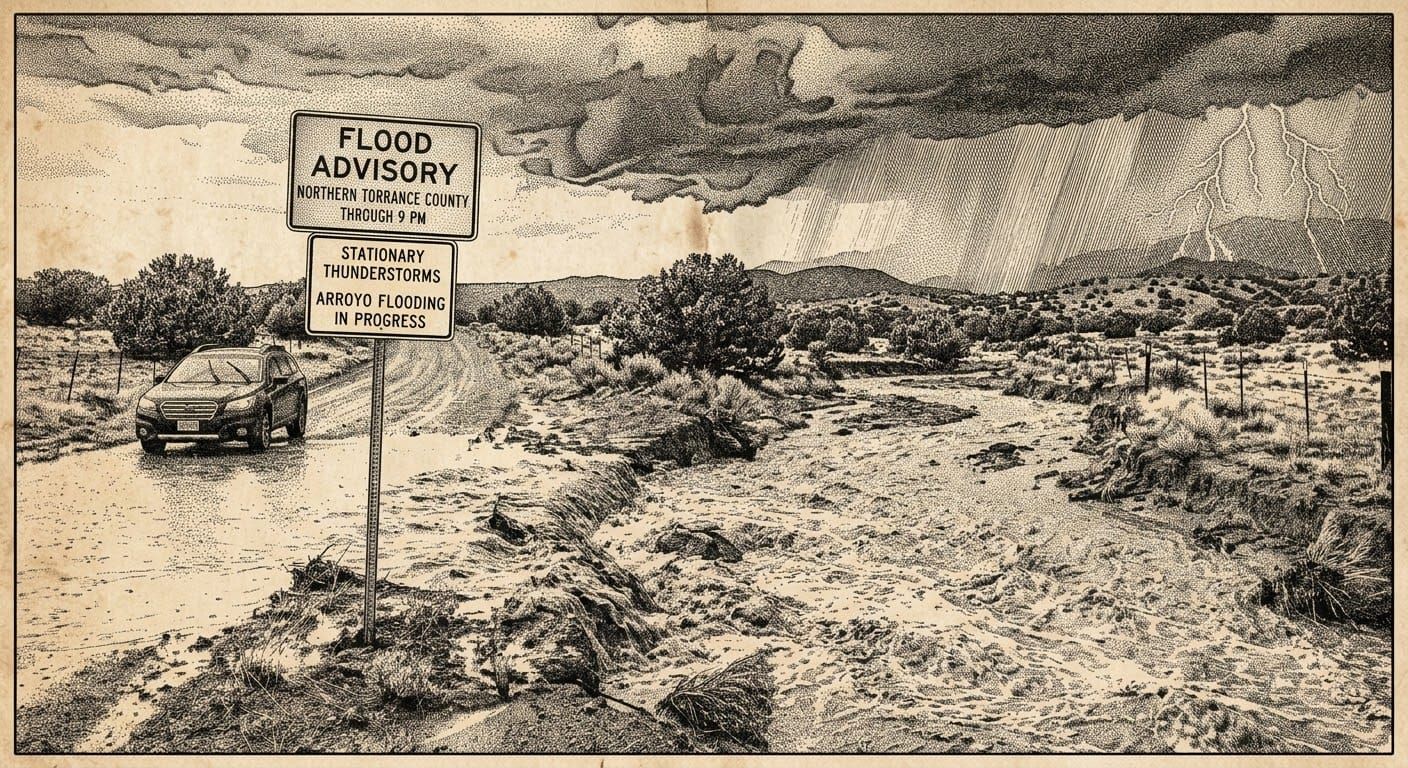
The National Weather Service in Albuquerque has issued a Flood Advisory for northern Torrance County, in effect until 9 p.m. MDT this evening (Monday, August 17, 2026).
At 5:55 p.m. MDT, Doppler radar indicated heavy rain from near-stationary thunderstorms between Stanley and Moriarty. Between 1 and 1.5 inches of rain have already fallen, with additional rainfall amounts of 0.25 to 0.5 inches expected over the remainder of the advisory period. This additional rain will result in minor flooding of arroyos and small streams across the area.
Expected Impacts:
Minor flooding in low-lying and poor drainage areas is expected. Rises in small streams and normally dry arroyos are anticipated as the stationary thunderstorms continue to produce heavy rainfall. The Moriarty and Stanley areas are most likely to experience flooding impacts, particularly in areas with poor drainage and low-lying terrain.
Precautionary Actions:
In hilly terrain there are numerous low-water crossings which are potentially dangerous in heavy rain. Do not attempt to cross flooded roads. Find an alternate route and allow extra time for travel until this advisory expires.
Residents and motorists in northern Torrance County should remain alert to changing water conditions and avoid parking vehicles in arroyos or washes. The slow-moving nature of these thunderstorms means rainfall rates could intensify before the advisory expires.
For the latest forecast updates and flood safety information, visit the Albuquerque office of the National Weather Service or the National Weather Service Flood Safety Page. Torrance County residents can receive timely alerts by signing up for TextMyGov notifications:
- Text TORRANCE COUNTY to 80946 for general and emergency alerts
- Text TORRANCE FIRE ALERTS to 80946 for information on prescribed burns or active fires in the area
- Text TORRANCE NWS to 80946 for weather-related alerts